Goals:
The goal of this lab was to propose a spatial question and to answer that question using Geo-spatial skills learned throughout the semester. Using four or more Geo-spatial tools created an analysis that was used to make a cartographic map in Arc Map 10.4.1
Introduction:
My proposed spatial question was where would be the best spot to place a new hospital in Eaton County, Michigan? Objectives for this project are that the new hospital should be located within 20 miles of another hospital, within 1 mile of a highway, and near an urban center. The intended audience would be Eaton County government representatives, as well as local medical facilities and citizens of Eaton County. This question was proposed because I grew up in Eaton County, Michigan and the closest hospital to most of the cities in Eaton County, Michigan is located about 20 miles away making it difficult for people to obtain immediate medical care.
Data Sources:
Data was obtain through the University of Wisconsin-Eau Claire GIS database. Data used was Major highways, Hospitals, Cities, and County feature classes. There were a few data concerns such as if its to big. Another concern was if the data was out of date.
Methods:
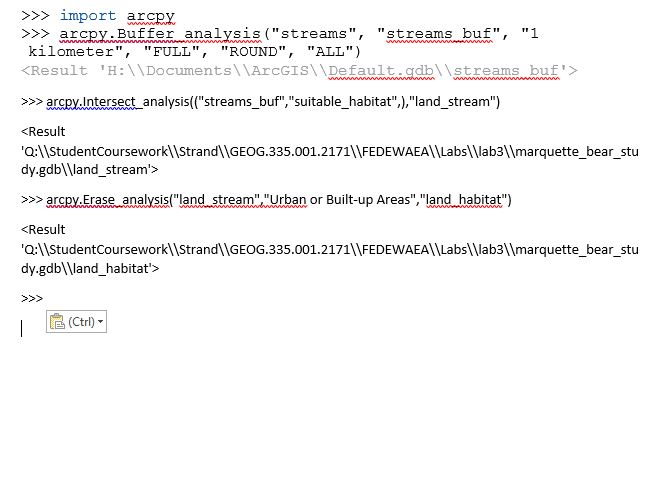
The first thing I did was to add the U.S. states layer from the University of Wisconsin-Eau Claire GIS database. After that, the next step was to create a layer using select by attribute for Michigan. The next step was to add the highway,cities, county and hospital classes to the map. The step after that was using the attribute table to only have the highways, as well as cities, and county layers show Michigan. I created new layers labeled Michigan Hospital, Michigan, Michigan Cities, and Michigan roads. Next I used the Intersect tool on Michigan Hospital and Michigan layers. Using the intersect tool allowed me to combine Michigan Hospital layers with Michigan layers. The following step was using the Buffer tool for all areas around hospital so that new hospitals are away from current ones. This tool allowed me to select a certain distance from the actual location. The next tool used was the Dissolve tool. This tool was used on the Michigan Hospital buffer, The following tool used was creating a buffer that was within 2 miles of all Michigan cities and in an urban center. I then used the Erase tool on the michigancitybuffer from the hospital buffer. The last tool used was the Dissolve tool on the Michigan hospital buffer. After the map was created using Arc Map 10.4.1, the next step was to make a data flow model to show the steps mentioned above.
Thursday, December 15, 2016
Wednesday, December 14, 2016
Lab 3: Vector Analysis
Goals and Background:
There were several goals of this lab. Those goals were to learn how use the geoprocessing tools in Arc Map 10.4.1 for vector data analysis using the Marquette, Michigan geodatabase to determine a suitable habitat for bears. Another goal was using the python scripting in order to farther learn about geoprocessing tools. The last goal of the lab was creating a data flow model to see what geoprocessing tools were used in order to finish the final map project.
Methods:
The first step of this lab was downloading a zip file that contained the geodatabase for Marquette bear study. The next step was to add the X Y coordinate from the bear_locations_geog$ sheet as an event theme. After adding the X Y coordinates to the map, the next step was adding the feature classes within the bear-management_area data-set to the data frame using Arc Map 10.4.1. The following step was to perform a spatial operation that would generate a new feature class to have the ID number of bear and the land cover type. That spatial operation was using the intersect tool. After using the intersect tool to create a new feature class named bear_cover. The next step was to use another spatial tool to find out how many bears were found in each habitat type. In order to find out how many bears were found in each habitat the next spatial tool used was Select By Location using the Minor Type field. Following the Select By Location tool, the next tool was using the Summarize tool in the attribute table. This determines how many bears were located within each habitat section. After performing the previous mentioned tools, it was determined that the bears were located within 3 different habitats. Those three habitats were forest wetlands, evergreen forest land and mixed.
The second step of the lab was to use a spatial tool called Buffer to determine how many bears were located within 500 meters of a stream. After using the Buffer tool,the next tool used was the Dissolve tool. The following step was using the Intersect tool with streams and bear cover. This tool helped determine how many bears were located within 500 meters of a stream. It was determined that a majority of bears lived within 500 meters of a stream.
The third step of the lab was to find suitable areas for bear habitat based on two criteria. Those criteria s were that it was within a suitable land cover type (one of the 3 habitat mentioned above), and within 500 meters of a stream. The first step in this objective was to create a new feature class using a spatial tool. The spatial operation used was the Intersect tool. By using the Intersect tool with streams, the next step was a dissolve.
The next objective was to exclude all areas that were within 5 kilometers from Urban or Built Up Lands because the Michigan DNR decided that bear management areas should not be in Urban areas. The spatial operations used in this section were the Clip and Erase tools.
After completing the above objectives, the next step was creating the map below to show where a suitable bear habitat might be.
The next objective was to learn how to use python scripting as another geoprocessing method.
The last objective was creating a data flow model to show what geoprocessing tools were used during the making of the map.
Results:
After completing this lab, it was determined that bears prefer three different types of environments in Marquette County, and that they tend to live closer to streams. The bears also do not live near the Urban areas such as Marquette.
![]() |
Figure 1: Map of Suitable Bear Habitat using Arc Map 10.4.1 |
Figure 2: Data Flow Model |
Subscribe to:
Posts (Atom)